|
Performance specification
|
|
Satellite signals tracked simultaneously
|
GPS: L1C/A, L1C, L2C, L2P(Y), L5
|
|
GLONASS: G1, G2, G3
|
|
BEIDOU: B1I, B2I, B3I, B1C, B2a, B2b
|
|
GALILEO: E1, E5a, E5b, E6
|
|
QZSS: L1C/A, L1C, L2C, L5, L6
|
|
SBAS: L1C/A
|
|
IRNSS: L5
|
|
Channels
|
1408 tracking Channels
|
|
Cold start
|
<60 s
|
|
Hot start
|
<15 s
|
|
Positioning output rate
|
1Hz – 50Hz
|
|
Signal Reacquisition
|
<1s
|
|
RTK Initialization time
|
<10s
|
|
Initialization Reliability
|
>99.99%
|
|
Time accuracy
|
20 ns
|
|
Positioning
|
|
Code differential GNSS positioning
|
Horizontal: 0.25 m + 1 ppm RMS
Vertical: 0.50 m + 1 ppm RMS
SBAS differential positioning accuracy: typically <5m 3DRMS
|
|
Static GNSS surveying
|
Horizontal: 2.5 mm + 0.5 ppm RMS
Vertical: 5 mm + 0.5 ppm RMS
|
|
Real Time Kinematic Surveying
|
|
Single Baseline < 30 KM
|
Horizontal: 8 mm + 1 ppm RMS
Vertical: 15 mm + 1ppm RMS
|
|
Network RTK
|
Horizontal: 8 mm + 0.5 ppm RMS
Vertical: 15 mm + 0.5 ppm RMS
|
|
Laser measurement
|
±2mm±100×10-6×D
(D is the measuring distance, unit: mm)
|
|
Laser distance
|
0.05m ~ 100m
|
|
Physical
|
|
Material
|
Magnesium alloy
|
|
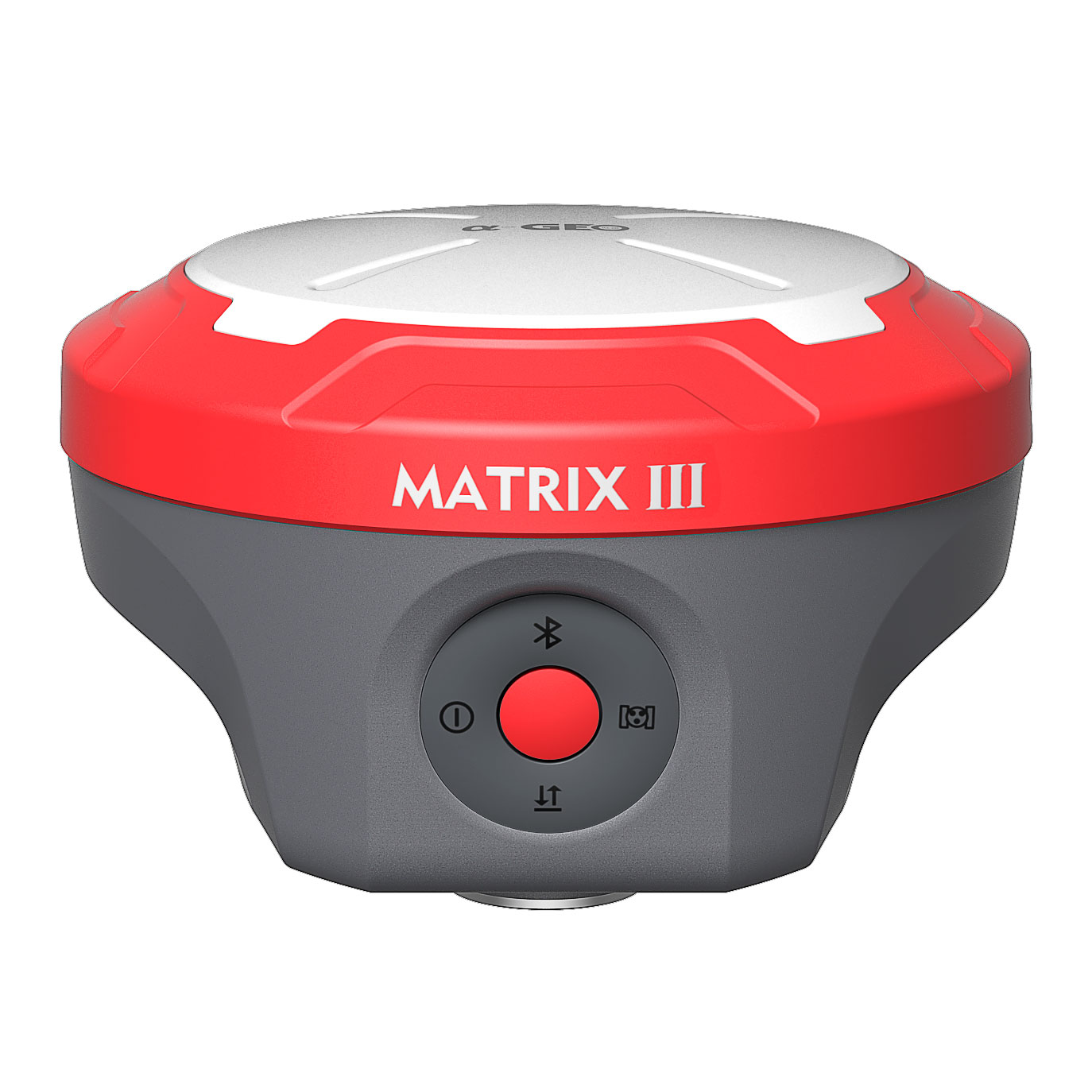
Dimensions
|
129mm×129mm×99
|
|
weight
|
0.8kg
|
|
Operating temperature
|
-40°C to + 75°C
|
|
Storage temperature
|
-55°C to + 85°C
|
|
Protection IP
|
IP67 dust proof, protected from 30min immersion to depth of 1m
|
|
Shock
|
Survive a 2m pole drop onto concrete
|
|
Vibration
|
MIL-STD-810G
|
|
Humidity
|
100%, condensing
|
|
Electrical
|
|
Battery
|
Power: 9~24V DC external power input on 5 pin LEMO port
|
|
Support USB Type-C fast charging
|
|
Internal 7000mAh-7.4V lithium-ion battery
|
|
Battery Life
|
Rover Mode: 12 hours
|
|
Base Mode: 7 hours
|
|
Static Mode: 15 hours
|
|
Communication & Data Storage
|
|
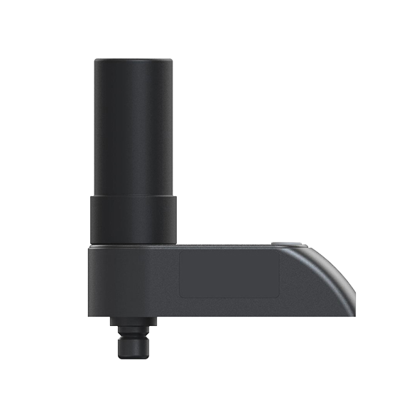
I/O interface
|
LEMO port (5pin)
Supports power supply, RS232 serial port control,
and external radio communication
|
|
USB Type-C port Data download / Charging
|
|
Sim card slot Supports Nano-SIM
|
|
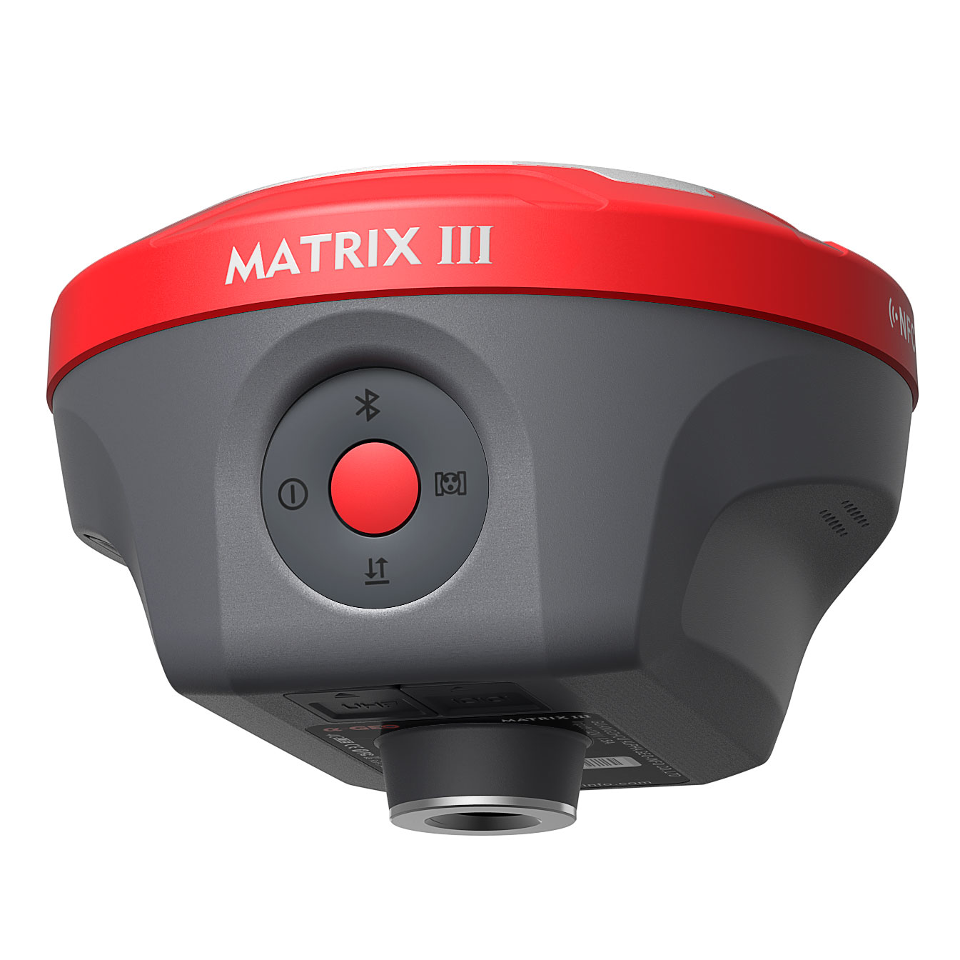
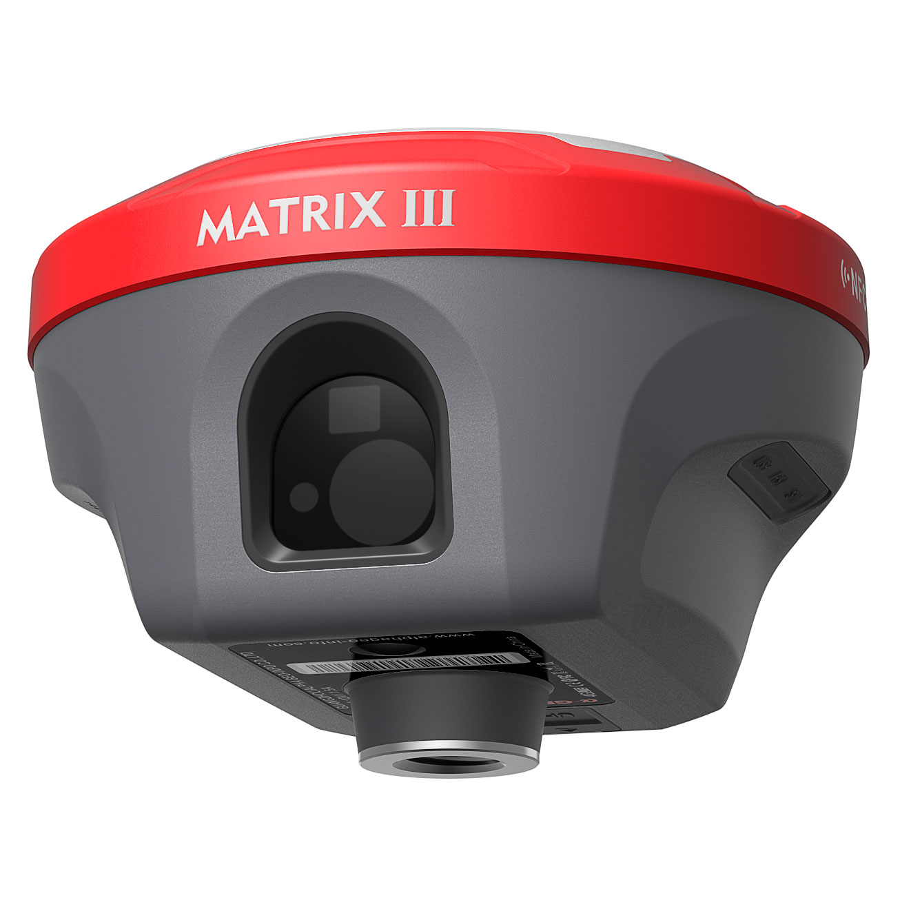
Antenna port UHF antenna interface
|
|
UHF Radio modem
|
1.5W Transmit power
|
|
Frequency band 410MHz-470MHz; supports to set the frequency
|
|
Protocols TrimTalk450s, Alphatalk15, SOUTH, Satel, PCC-EOT
|
|
Cellular
|
Integrated full frequency multi band 4G modem,
supports WCDMA/CDMA2000/TDD-LTE/FDD-LTE
|
|
WIFI
|
802.11 b/g standard, access point & client mode,
supports access to hotspot for correction transmission
|
|
Bluetooth
|
Bluetooth 5.2 Classical
|
|
Data format
|
RTCM2x, RTCM3x, CMR & CMR+, sCMRx
|
|
RINEX, NMEA outputs
|
|
Storage
|
64GB internal memory, supports cyclic storage; with ability
to collect over one year raw observation based on 5 seconds interval
|
|
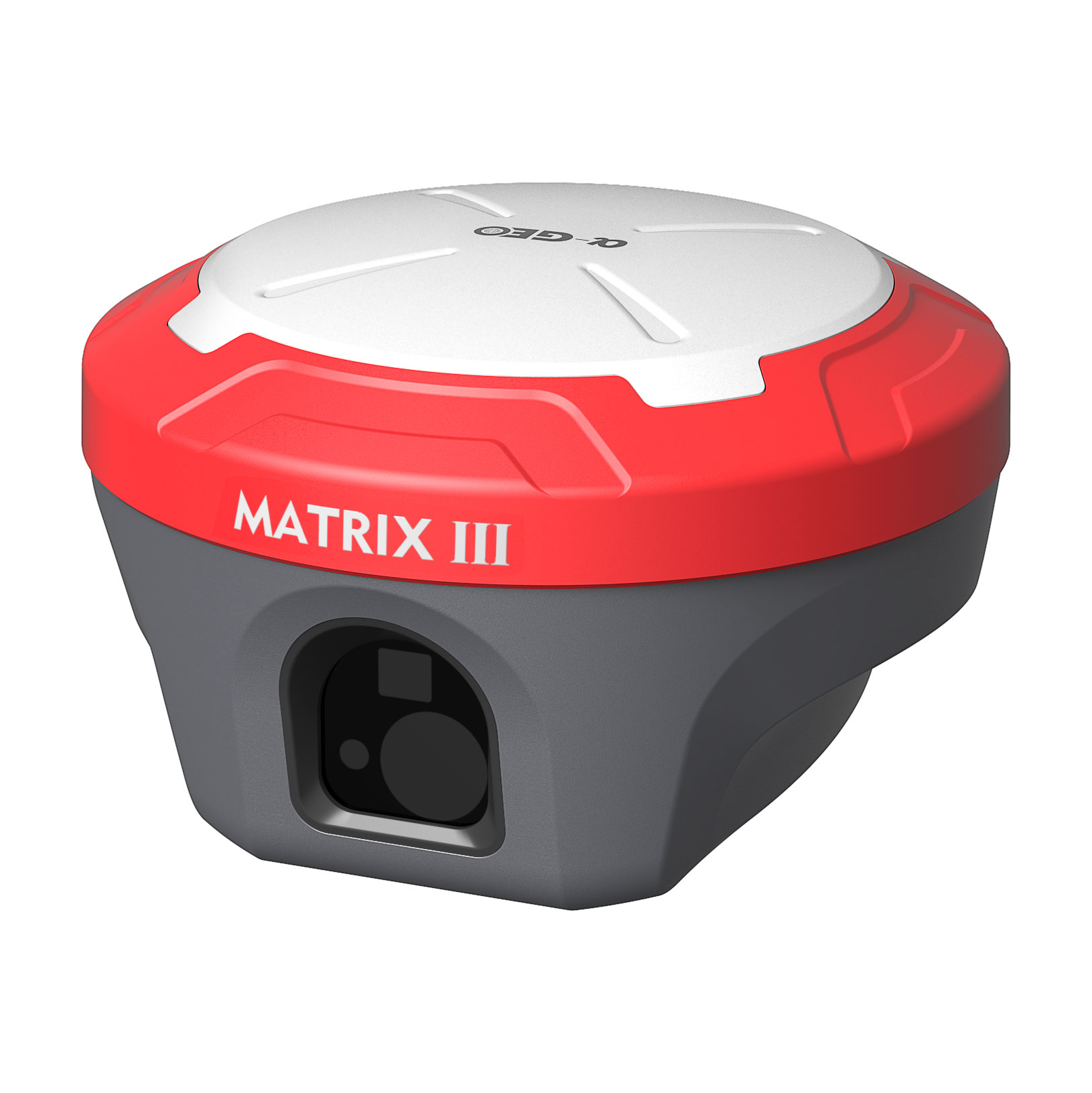
Camera
|
|
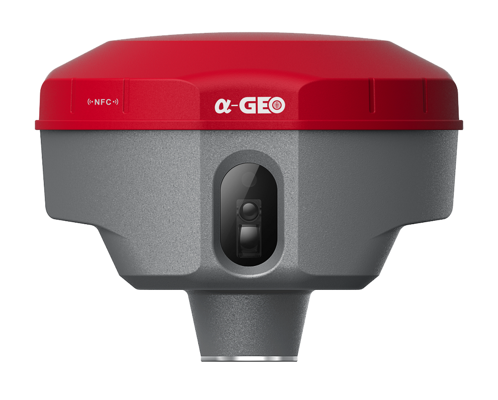
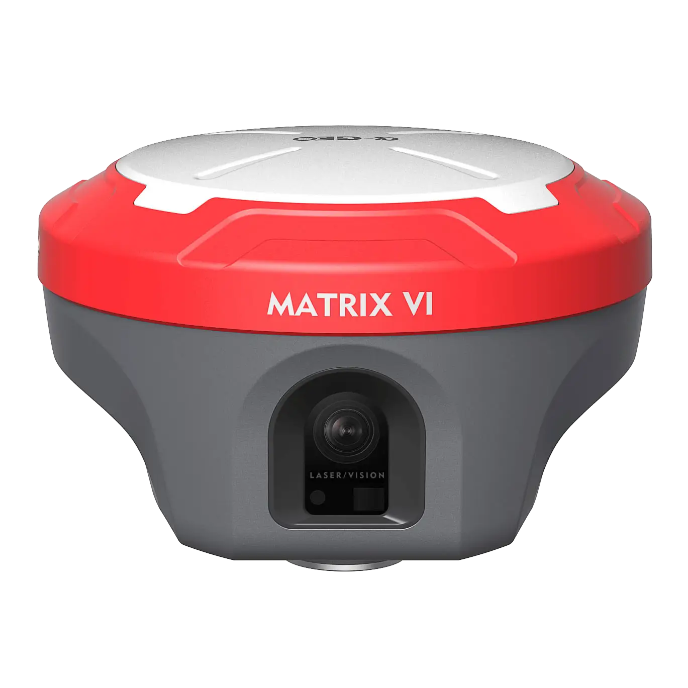
AR
|
5M high-definition camera with large viewing angle and support
for live scene lofting
|
|
FOV
|
84°
|
|
Laser assisted
|
5M high-definition camera, large viewing angle, auxiliary
laser measurement and aiming
|
|
IMU sensor
|
|
IMU
|
Supported 4D IMU initialization in 3 seconds
|
|
Accuracy
|
2.5cm within 120°
|
|
Tilt Compensation
|
Up to 120°
|
|
Update rate
|
400Hz
|
|
User interaction
|
|
OS system
|
Intelligent LINUX operating system
|
|
Supported controllers
|
All android devices with supported software
|
|
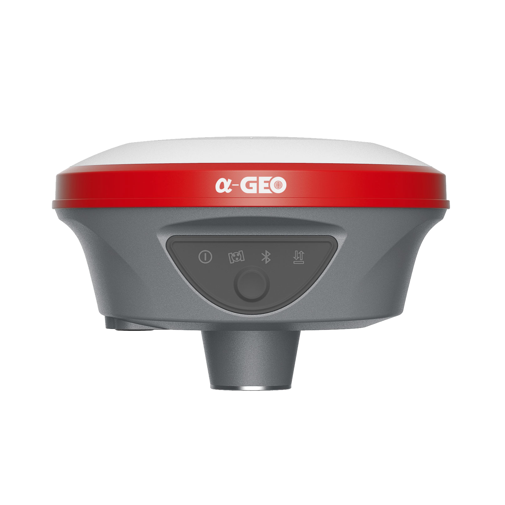
Button
|
Power key
|
|
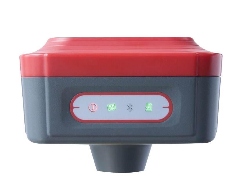
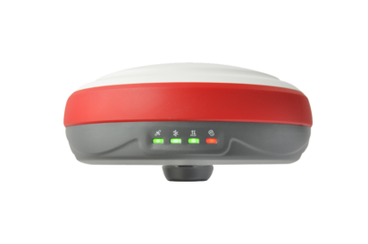
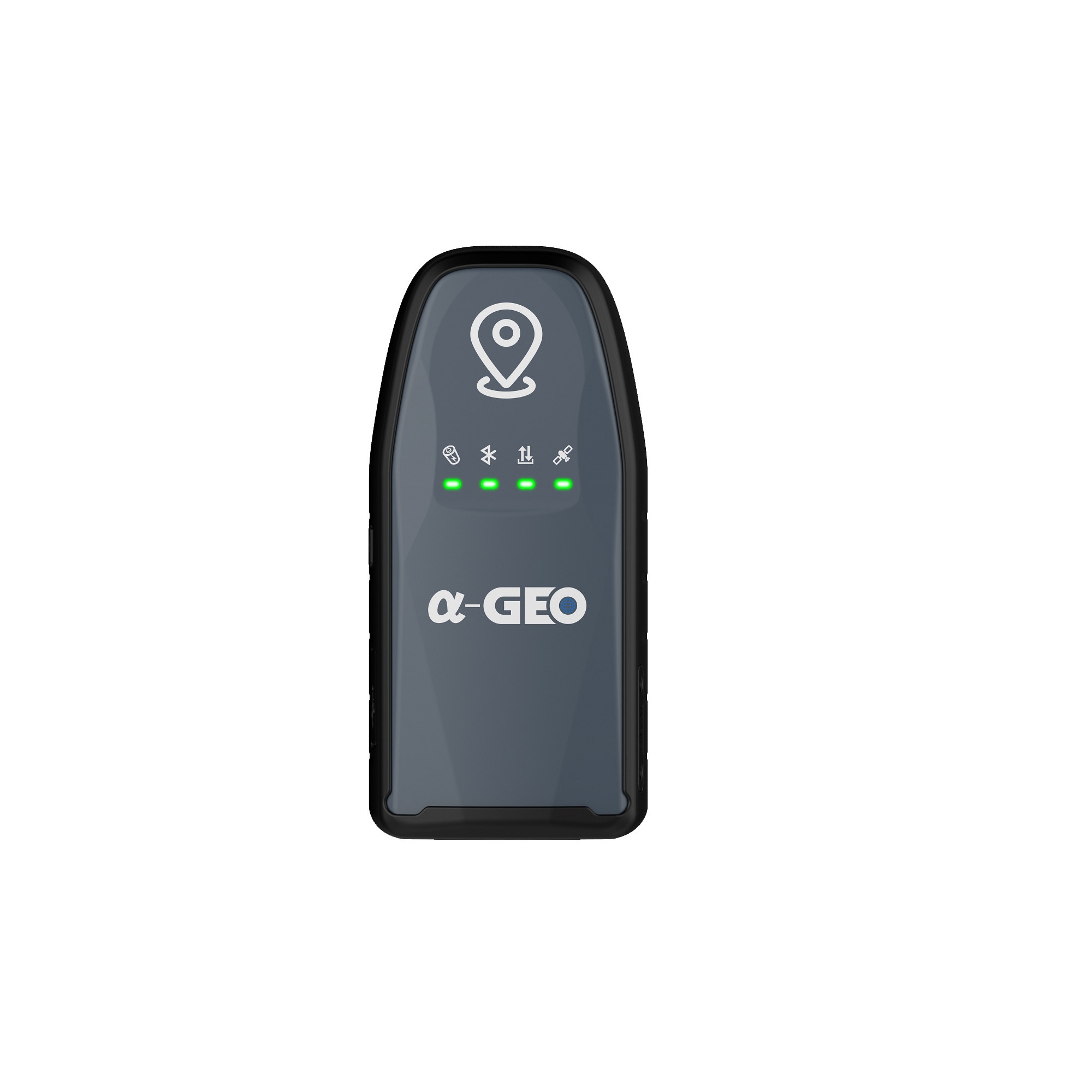
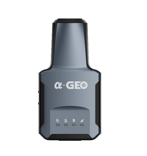
Indicator
|
Power indicator, data link indicator, satellite indicator, Bluetooth indicator
|
|
Voice
|
Intelligent voice prompts
|
|
WEBUI
|
Support WEBUI configuration
|